Lidar, or Light Detection and Ranging, is often called the "eyes" of AI, capturing the world in stunning 3D. However, this raw data is just a jumble of points until it's meticulously labeled.
Lidar annotation transforms these points into meaningful data, enabling AI systems to interpret and interact with the world. Whether it’s a drone mapping an entire city or a self-driving car navigating a crowded intersection, Lidar annotation gives AI the power to make sense of its surroundings.
As industries rush toward smarter, more autonomous systems, the importance of Lidar annotation is skyrocketing. For businesses developing next-gen AI solutions or AI enthusiasts diving into machine learning, mastering Lidar annotation—and finding the right tools to do it—has never been more crucial.
What is Lidar?
Lidar is a remote sensing technology that uses laser beams to measure distances to objects. By sending out thousands of laser pulses every second and measuring how long they take to bounce back, Lidar generates detailed, three-dimensional maps of the environment. These maps, often called point clouds, contain millions of data points representing the exact location and shape of objects.
How Lidar Works
Lidar operates by emitting thousands of laser pulses per second towards a target area. Each pulse reflects off surfaces and returns to the Lidar sensor.
The system calculates the time taken for the light to return—referred to as the “time of flight” to determine the distance between the sensor and the object. These measurements are combined to create a highly detailed 3D representation of the environment, called a point cloud.
While Lidar has been around since the 1960s, its recent boom in autonomous vehicles, aerial mapping, and robotics has propelled it to the forefront of AI applications. But the challenge lies in how to interpret this massive influx of data.
Why Lidar Annotation Matters
The raw data collected by Lidar sensors are just clusters of points—called point clouds—that by themselves don’t mean anything to a machine. This is where Lidar annotation becomes crucial. Annotation in Lidar involves labeling these points, telling the AI system which points represent cars, people, buildings, or other objects.
Without this process, an autonomous vehicle's Lidar would simply "see" a wall of data without understanding the meaning behind it. With precise 3D Lidar annotation, however, the AI can differentiate between a pedestrian crossing the street and a static obstacle, making safe, real-time decisions.
Key UseCases of Lidar Annotation
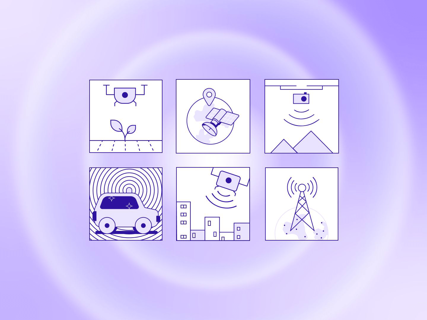
- Autonomous Vehicles and Urban Mobility: Autonomous vehicles rely on accurate, real-time 3D maps to navigate complex environments safely. LiDAR annotation supports precise labeling of vehicles, pedestrians, lane markings, and obstacles using 3D bounding boxes and other custom shapes.
This accuracy is critical for Advanced Driver Assistance Systems (ADAS) and full automation, as it enables cars to detect, classify, and respond to objects in their path.
LiDAR annotation ensures that annotated data is accurate and consistent across all frames, making it essential for robust, real-time decision-making in autonomous navigation.
Waymo’s self-driving cars in Phoenix use annotated LiDAR data to identify vehicles and pedestrians in urban environments. This technology has helped Waymo safely achieve over 20 million autonomous miles on public roads
- Environmental Monitoring and Conservation: LiDAR annotation tools are designed for high-resolution terrain mapping and land-use analysis, enabling teams to accurately monitor forests, coastlines, and other ecosystems.
In forestry management, for instance, annotations can help identify tree canopy structures, measure biomass, and map vegetation changes.NASA uses annotated LiDAR data in the Amazon rainforest to track deforestation, pinpointing illegal logging activities and informing sustainable conservation strategies for at-risk ecosystems.
- Smart Cities and Urban Planning: Urban planners use LiDAR to create detailed 3D models of cityscapes, essential for efficient zoning, transportation planning, and infrastructure maintenance.
Annotation supports the labeling of buildings, roads, and utility lines within dense urban point clouds, providing city planners with accurate data to support public safety, green space management, and sustainable urban design.
In Singapore, annotated LiDAR data has been used to reduce traffic congestion by 12%, enhance pedestrian-friendly zones, and develop sustainable urban infrastructure.
- Precision Agriculture and Land Management: In agriculture, LiDAR technology is leveraged to monitor crop health, analyze terrain, and optimize resource allocation.
Annotations allow users to label crop rows, measure canopy height, and assess soil variations, providing data that drives automated irrigation, fertilization, and pest control systems.
John Deere integrates annotated LiDAR data into AI-powered farming equipment, helping farmers boost yield efficiency by 15% while minimizing water and fertilizer waste.
- Telecommunications and Network Infrastructure Planning: Telecom companies rely on accurate terrain and infrastructure mapping to plan network expansions, particularly for 5G installations that require line-of-sight clarity.
LiDAR annotation enables teams to label utility poles, towers, and nearby obstacles within dense point clouds.
For instance, South Korea’s telecom operators used annotated LiDAR data to optimize 5G antenna placement in Seoul, improving signal coverage and reducing installation costs.
- Geospatial Intelligence and Disaster Management: In disaster management and geospatial intelligence, real-time annotated LiDAR data is critical for creating high-resolution maps of affected areas.
Annotations allow responders to track changes in terrain following natural disasters, such as floods, landslides, or hurricanes.
During the 2021 floods in Germany, annotated LiDAR data was pivotal in identifying evacuation routes and hazardous zones, cutting response times by 30% and saving countless lives.
Lidar Annotation vs. Semantic Segmentation
Many people confuse Lidar annotation with semantic segmentation, but they are different processes. Lidar annotation refers to labeling individual points in a Lidar point cloud. In contrast, semantic segmentation, a computer vision task involves dividing an image into different regions based on their meaning or role.
For instance, in an autonomous vehicle setting, Lidar annotation helps label the exact location of pedestrians, while semantic segmentation might divide the road into regions like "crosswalk," "sidewalk," and "road." Both are critical for training AI models, but Lidar annotation offers more granular insights, especially for applications requiring precise depth and shape understanding.
.png)
The Role of 3D Annotation in Lidar
3D annotation takes Lidar annotation a step further by providing three-dimensional labeling of the data points. This is especially important for applications like autonomous driving, where the system needs to understand not just the location of objects, but their dimensions, movement, and distance relative to the vehicle.
While 2D images can help with tasks like recognizing objects, they fall short when depth and scale are needed. 3D Lidar annotation offers this critical layer of information, giving AI models a more complete understanding of their environment.
Choosing the Right Lidar Annotation Tool
Given the complexity of Lidar data, businesses and AI developers need specialized tools for annotation. Lidar annotation tools allow for faster, more accurate labeling of Lidar point clouds, with features like automated annotation, AI-assisted tools, and collaborative platforms.
What to Look For in a Lidar Annotation Tool:
- Automated Annotation Capabilities: Look for tools that offer automated or semi-automated annotation features. These can drastically reduce the time spent on manual labeling by automatically detecting and labeling common objects, such as vehicles, pedestrians, and road signs, which can improve productivity by several times compared to traditional methods.
- User-Friendly Interface for 3D point cloud annotation: The tool should have an intuitive interface that allows annotators to navigate 3D point clouds easily. Features like drag-and-drop functionality for data import, straightforward editing options, and comprehensive visualization tools are crucial for enhancing user experience.
- Support for Multiple Annotation Types: Ensure the tool supports various annotation types, including semantic segmentation, 3D bounding boxes, and polyline annotations. This versatility is vital for accurately classifying different elements within the point cloud data.
- Real-Time Collaboration Features: A platform that allows multiple users to collaborate in real-time can significantly streamline the annotation process. Look for tools that enable task assignment, progress tracking, and communication among team members directly within the platform.
- Quality Control Mechanisms: Effective quality assurance features are essential. The tool should provide options for sampling, review workflows, and feedback mechanisms to ensure high-quality annotated data. This could include metrics for measuring annotation accuracy and tracking issues.
- Integration with Machine Learning Pipelines: The ability to integrate seamlessly with existing machine learning frameworks and pipelines is crucial. This includes support for importing/exporting data in various formats and APIs that facilitate smooth data flow between systems.
- Scalability: As projects grow in size and complexity, the chosen tool should be scalable to handle large datasets efficiently. Look for features like batch processing capabilities and the ability to manage multiple projects simultaneously without compromising performance.
- Customizable Workflows: The ability to create custom workflows tailored to specific project needs can enhance efficiency. Tools that allow users to define their own labeling tasks and automate repetitive processes can save significant time.
- Advanced Visualization Tools: High-quality visualization tools that allow users to view point clouds from multiple angles and perspectives are essential. This helps annotators accurately label objects by providing a comprehensive understanding of spatial relationships within the data.
The Future of Lidar and AI
The future of Lidar is bright, with innovations in autonomous systems, robotics, and smart infrastructure relying on the technology more than ever. But the key to unlocking Lidar’s full potential lies in data annotation. As AI models become more advanced, the demand for precise and scalable Lidar annotation will continue to grow.
For AI enthusiasts and businesses alike, now is the time to invest in the right tools and skills to stay ahead in this rapidly evolving field. Understanding the intricacies of Lidar annotation could be the difference between an AI model that navigates the future and one that’s left behind.
Conclusion
As we move further into the age of AI, Lidar annotation is no longer optional—it’s a necessity. The success of autonomous systems, aerial mapping, environmental monitoring, and smart cities all hinge on the ability to transform raw Lidar data into meaningful insights.
For businesses looking to lead in AI innovation, or for enthusiasts aiming to understand the future of technology, mastering Lidar annotation is the next crucial step. And with powerful Lidar annotation tools now more accessible than ever, it’s time to harness the full potential of this transformative technology.
FAQs
- What is Lidar?
Lidar, or Light Detection and Ranging, is a technology that uses laser pulses to measure distances and generate 3D maps of objects and environments.
- What is Lidar annotation?
Lidar annotation is the process of labeling Lidar point clouds to help AI systems interpret the raw data, allowing machines to understand their surroundings.
- How is Lidar used in autonomous vehicles?
Lidar helps autonomous vehicles by creating detailed, 3D maps of their surroundings, allowing the AI to detect obstacles, pedestrians, and other vehicles.
- What is the difference between Lidar annotation and semantic segmentation?
Lidar annotation involves labeling individual points in a Lidar scan, while semantic segmentation divides entire images or scenes into different regions for AI to interpret.
- Why is Lidar important for AI?
Lidar provides precise, 3D data that allows AI systems to navigate complex environments, making it essential for applications like self-driving cars and drone mapping.


